The software was developed by Datel's software development team.
"In living environment planning, spatial data is the basis for making better decisions, and their visualization should not be underestimated. The 3D twin is an important helper for this, which brings together different types of spatial data in one view, gives them a context, and thus makes them more understandable for all of us," said Ivo Jaanisoo, Deputy Secretary General for Construction at the Republic of Estonia Ministry of Economic Affairs and Communications.
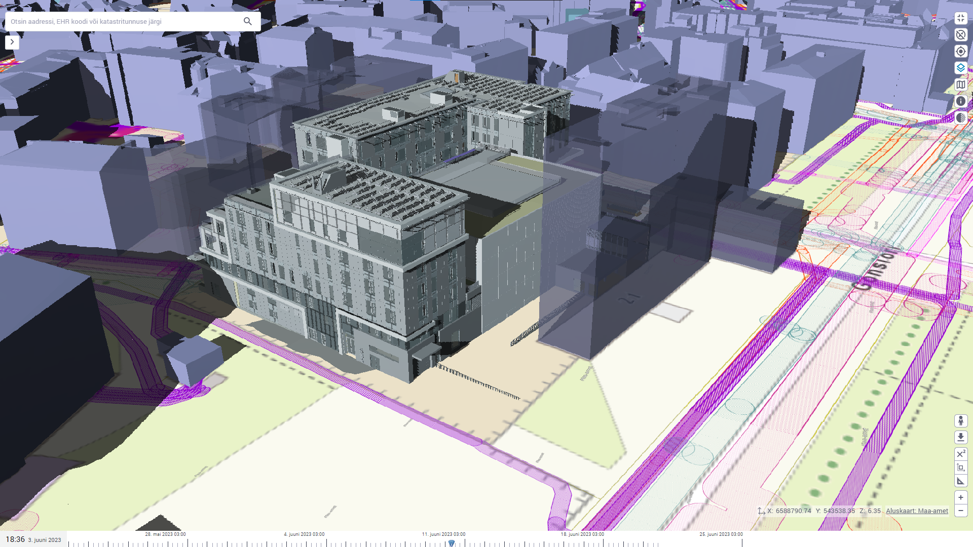
The 3D twin visualizes data from the Land Board's flyovers and building register from planned, erected, existing, and demolished buildings. The data is updated daily to ensure the most up-to-date overview of changes in our built environment. The updates also added the display of detailed plans and 3D building areas from the national planning register (PLANK), which gives an even longer perspective into the future.
Uploading and sharing of building information models (BIM) has improved significantly, allowing detailed 3D models to be viewed and compared with other data layers. Including various restrictions and areas related to heritage protection, environment, and technical zones. Starting from June, these layers include, for example, soil radon risk, which is based on data collected by the Estonian Geological Service.
Read more/ Source:
Estonian Ministry of Economic Affairs and Communication, 11.06.2023 "In the updated Estonian 3D twin, you can see buildings rising in the neighborhood" (in Estonian).


