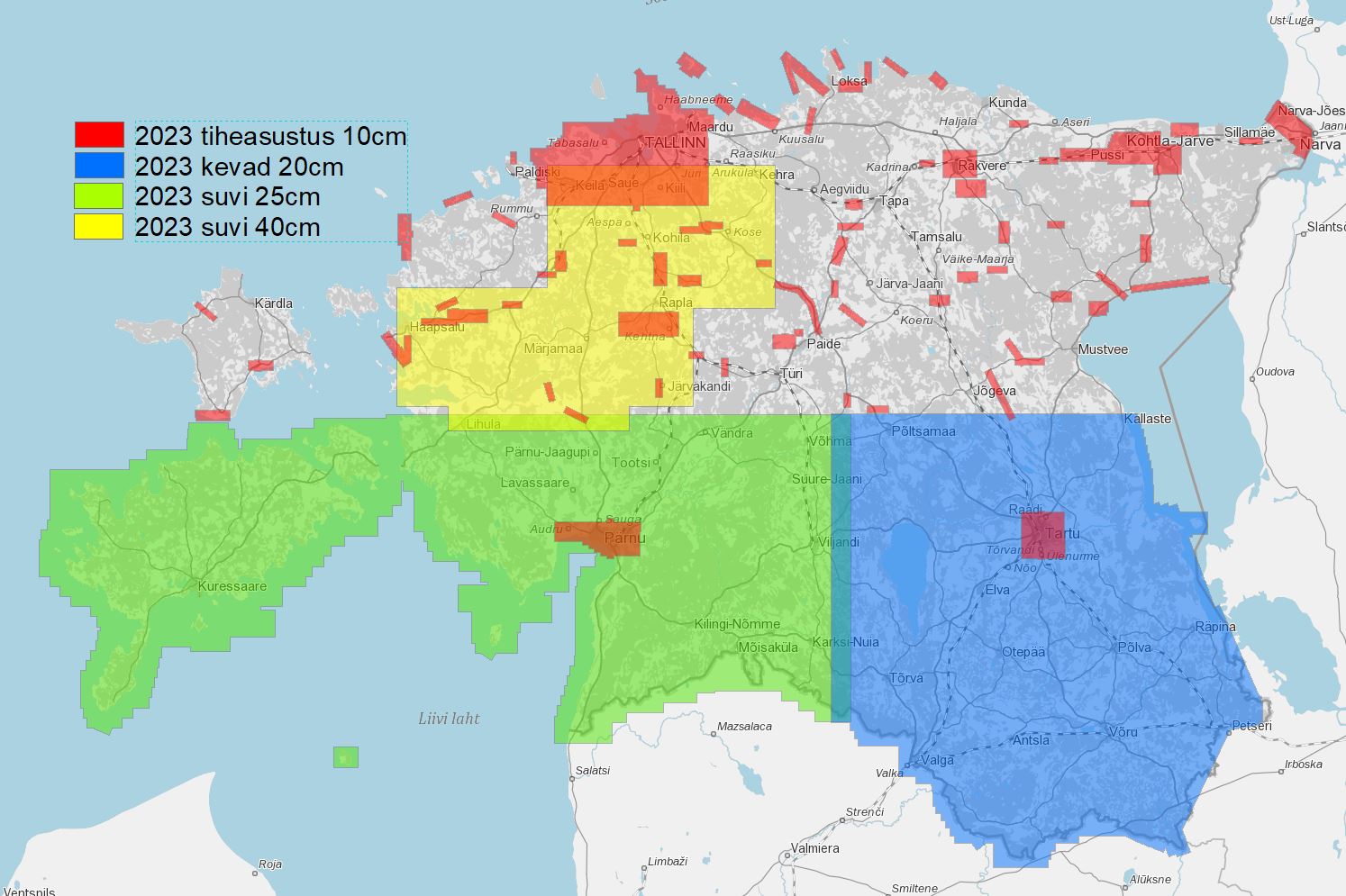
The geoinformation systems team at Datel played an important role in releasing the 2023 orthophotos on the Geoportal of the Estonian Land Board.
The Land Board conducts aerial photography every year. The aerial surveying flights serve as a crucial means of gathering essential data for the country. This data enables the updating of Estonia's topographical maps, as well as the information stored in spatial data registers and map services.
Read more (in Estonian): https://maaamet.ee/uudised/maa-amet-avaldas-geoportaalis-2023-aasta-ortofotod-mis-katavad-suure-osa-eestimaast


