





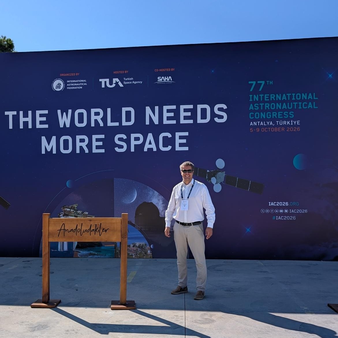
Between 5 and 9 October 2026, Oliver Stimmer, Head of Space Domain at AS Datel, is attending the International Astronautical Congress (IAC) 2026 in Antalya, bringing together more than 6,000 space industry professionals, researchers, organizations, and innovators from around the world.
Datel's journey into the space sector is built on more than 35 years of experience in GIS, GovTech, and spatial data management.
AS Datel has developed over 400 information systems, including Estonia's national land information system, planning and construction permit solutions, and the country's 3D digital twin for e-construction.
Since 2016, Datel has expanded its expertise into Earth Observation, developing solutions that combine satellite data, artificial intelligence, and geospatial analytics. By integrating radar and optical satellite imagery with other data sources, Datel helps organizations monitor infrastructure, detect changes, and make better-informed decisions.
Datel has also built strong partnerships within the European space ecosystem. The company has participated in several projects with the European Space Agency (ESA), contributed to the Solar Orbiter mission, and partnered in the Earth Observation Baltic Platform, the first large-scale Earth Observation collaboration across the Baltic States. Close cooperation with the Estonian Space Office has further supported the company's growth and international engagement in the space sector.
Among Datel's flagship solutions are Sille.Space, an ESA-supported infrastructure monitoring platform that detects ground movement and subsidence using satellite radar data, and Catanova, a solution that combines satellite imagery and permit data to identify potentially unauthorized construction activities.
As Earth Observation data becomes increasingly important for infrastructure management, environmental monitoring, and smart communities, Datel continues to transform complex satellite data into practical tools that create value on Earth.