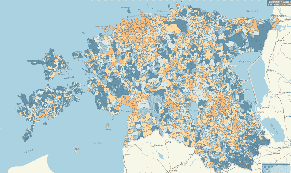





Statististics Estonia Map Application
Datel developed a new map application for Statistics Estonia that visualizes data from various areas of national statistics that are published in the Statistics Estonia database. The map application allows to view data mainly from counties, but also from local governments. This gives a good overview of the data for the whole of Estonia and at the same time analyze and compare the data of the selected region with other regions.
“The data in the map application is updated at the same time as new data reaches the Statistics Estonia database. This means that we now see a lot of the most recent Statistics Estonia data on the maps, from economic growth to library attendance,” said Hendrik Neubauer, a geoinformation specialist at Statistics Estonia.
The map application is designed for the X-GIS 2 web map software, which has been enhanced with support for data cube visualization. Using X-GIS 2 means that statistical thematic maps can be enriched with hundreds of data layers from the X-GIS 2 map server, if the user wishes, and thus create additional connections between statistics and location information,” said Sulev Õitspuu, Head of the Geoinformation Systems Office of the Land and Spatial Planning Board.
Read more: https://www.datel.eu/en/news/182-datel-developed-a-new-map-application-for-statistics-estonia